


Nature trails
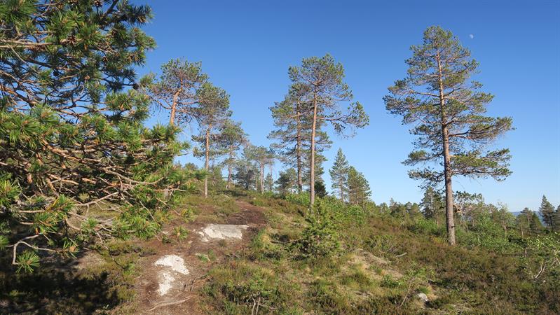
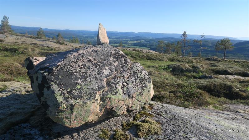
Hiking: Skjørlandshatten 431 masl
Skjørlandshatten, 431 masl, is a nice hike with medium/blue levels of difficulty. From the parking area walk 1-1,5 km in towards Himovatnet until you get tå Grøtåbrua birdge. Follow signs and blue markings from the bridge to the top. Rocky ground, some marshy areas. Good shoes recommended. The walk is 3 km one way with approx. 310 meters of elevation
Directions: Turn off E6 just south of Grong centre, drive towards Namsos on Fv760. turn left in the junction at Skogmo. Before you reach Ranemsletta, turn right towards Solem - signpoosted "Turområde". Drive until the parking area at the very end of the gravel road.
Fasiliteter
- Duration
- 2 hours
- Grading
- Medium
- Nature and terrain
- Bog
- Heather
- Hiking area
- Total ascent: 310 m
- Symbols
- Hiking