


Ancient monuments
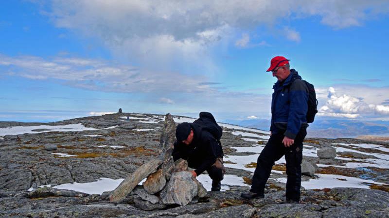
Hike: Romsskåla 588 masl
Romsskåla is the highest mountain in Leka municipality. The cairn at
the top marks the border between Leka and Bindal. The 4 km long
trail starts on the agricultural road to Sønndalslia, then follows the ridges
towards Holdåsfjellet and the top. Marked with cairns along the
way. Open landscape with mostly dry trail. Here you will be walking
on Norwegian bedrock and 1.8 billion year old gneiss. Gammelskogen
in Sønndalsia ia a boreal rainforest, protected as a nature reserve.
Directions:
From FV17 follow signs to Gutvik. Drive FV802, then FV771 towards
the ferry dock. Turn off towards Austra just before the ferry dock.
Park along the road, just before the sharp bend in Gångkleiva.