


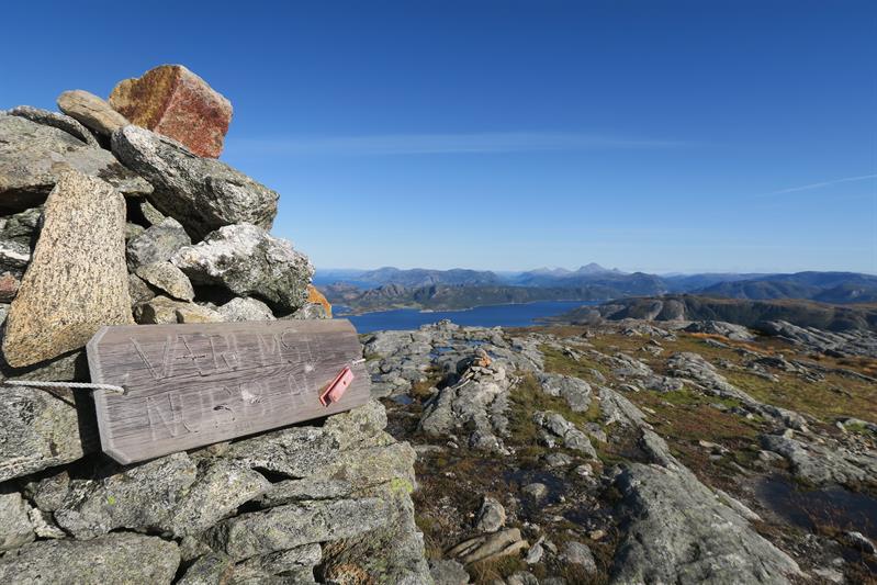
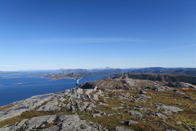
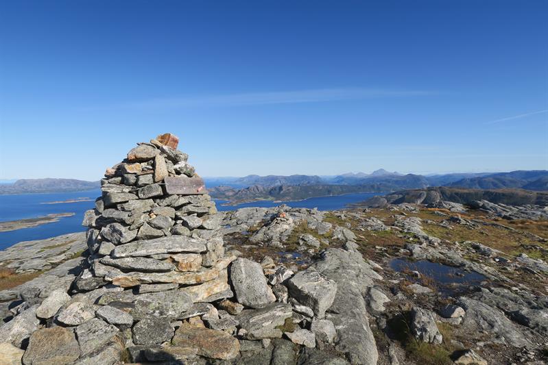
Hiking: Væremsnubben 402 masl.
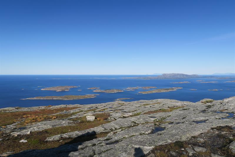
The view from Væremsnubben is one of the best in Namdalen, especially on days with sunny weather. From Væremsnubben you can spot Vikna in the south, the ocean in the west, Leka island in the north, the mountains of Helgeland in the north-east and all the mountains of Namdalen in the weat. 360 degrees of beautiful nature as far as the eye can see.
Trail description:
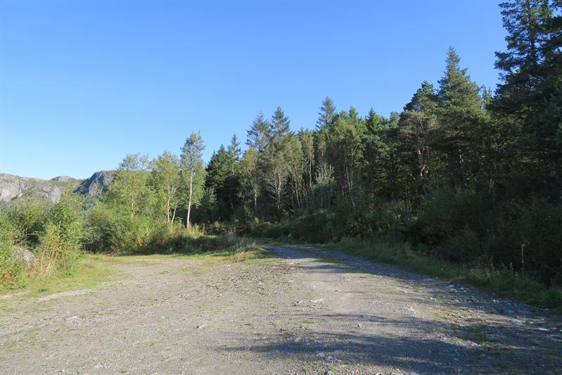
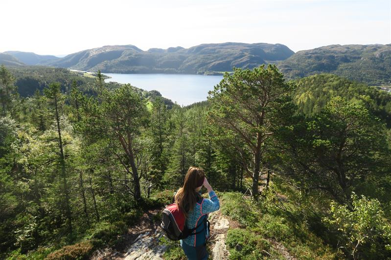
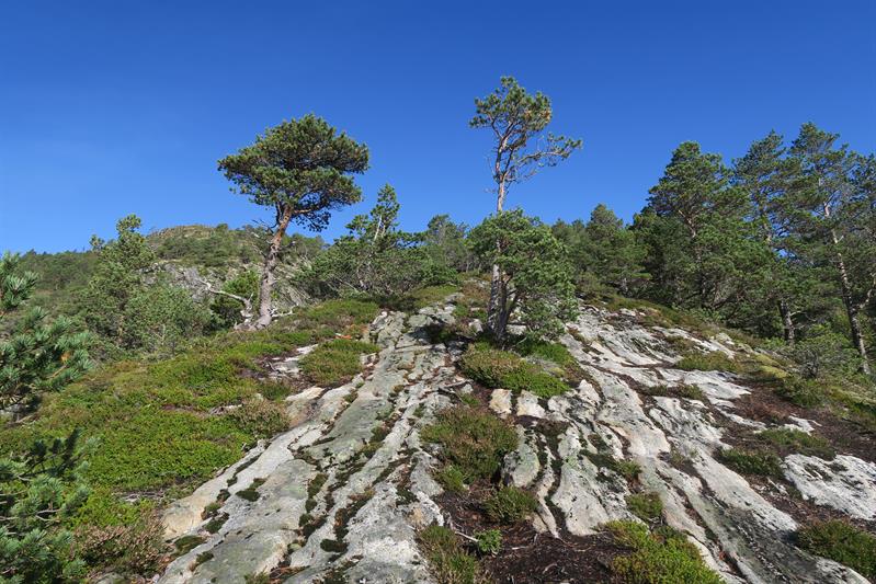
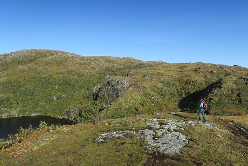
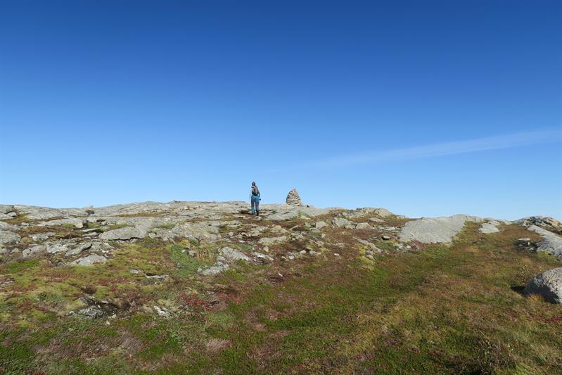
You start this hike by following a gravel tractor road alongside a private field for about 500 meters. Show consideration and do not walk on the cultivated land, but alongside it. On the far side of the field you will find a clear trail heading right. Follow this path. After a couple of minutes of walking you will start to get a view. Here the trail has a steep section with a very steep cliff on the left, but you will pass this bit quickly. The trail continues in some marshy terrain and on rocky ground, first over Litlnubben, around Sørnubblivatnet lake and on to the cairn at the top of Væremsnubben. Approx. 2,8 km one way. The entire hike takes approx. 2-3 hours. The trail is not marked, but clearly visible and easy to follow the whole way. This hike has a easy/medium level of difficulty.
Directions:
Drive Fv769 from Namsos and head north to Lund ferry quay. Travel on the ferry to Hofles and drive towards Rørvik on Fv770. Before Nærøysund bridge, turn right towards Ottersøya and Søråa. Follow this road to Værem. By the junction at Værem turn right. Approx. 350 meters from this junction there is a small gravel parking area on the left.
- Duration
- 3 hours
- Grading
- Easy
- Medium
- Not marked
- Nature and terrain
- Archipelago
- Coastal area
- Symbols
- Hiking

