


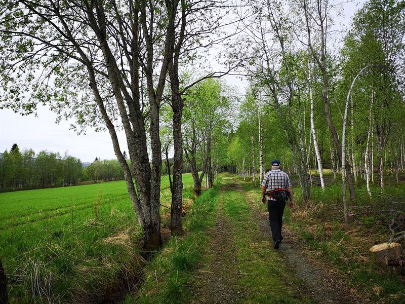
Hiking: Fagerliklumpen 477 masl.
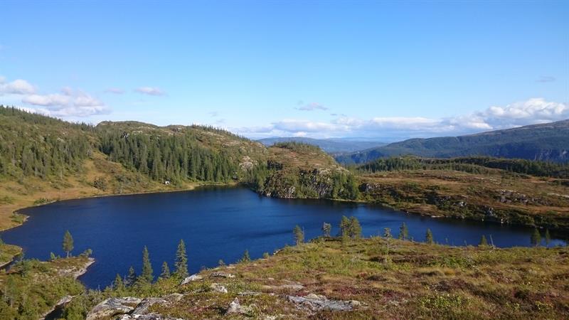
Fagerliklumpen is 447 masl with a great view towards Heimdalhaugen/Aajmehtaeliem Geitfjellet/Aejrienvaerie and the rivers Namsen/Nååmesje and Sanddøla/Sovvene. The hike starts at the parking area in Leksås, following an old road. After 600 meters you will see a sign to Damtjønna. You can choose to walk either directly to Fagerliklumpen (2 km) or turn right and walk around Damtjønna and then to the top. The hike is then 4,5 km. Challenging terrain with some marshland.
Directions: From E6, turn towards Namsos in the junction 400m south of Mediå bridge. Take the first road right (100 meters after junction), take a left towards Grong gård. In first junction take a left, in second junction take a right towards Leksås. Drive to the end of the road and park here.
Sleep, eat, see and do:
Langnes Camping (langnescamping.no), Namsentunet (namsentunet.no), Rønningen på Veium, Jørem – opplevelser ved Namsen (jorem.no), several eateries in Grong and Harran.
Download and print pdf of trail description: Fagerliklumpen.
- Duration
- 3 hours
- Grading
- Challenging
- Nature and terrain
- Water
- Symbols
- Hiking


