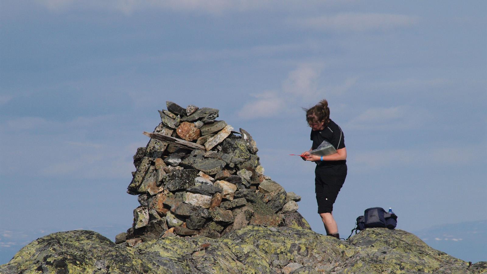
Hiking: Skorovasklumpen/ Gierenetjåalhte 935 masl.
The hike to Skorovasklumpen is just over 2,3 km one way, with approx. 500 meters of elevation, well suited for families. The hiking trip has a steady elevation gain throughout and great views from the top. You start walking in forest, but after a short while you will be above the tree line with excellent views. The path is not marked, but you can follow the cairns towards the top. This is a good trip for wintertime as well, with smooth slopes and a descent that will suit most skiers.
Directions: From E6. turn towards Skorovatn and drive 20 km on Fv 764. Park next to the mouth of Stor-Skorovatnet/Gierenetjåalhtenjaevrie (on the right when driving eastwards).
Sleep, eat, see and do:
Skjenkestova/pub (skorovasmat.no), Skorovas kapell/chapel, Lyshaug Gård/cabin rental, Namsskogan Familiepark (familieparken.no), Namsskogan Hotell (hotellet.no).
Download and print trail description: Skorovasklumpen.
- Duration
- 3 hours
- Grading
- Medium
- Season
- All-year
- Symbols
- Hiking
- Skiing
- Winter sports
- Off piste
- Summit tour


