


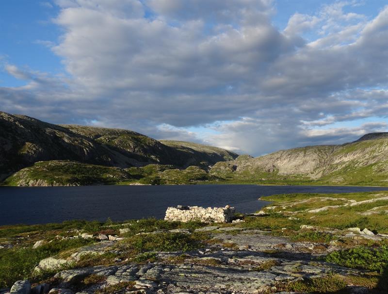
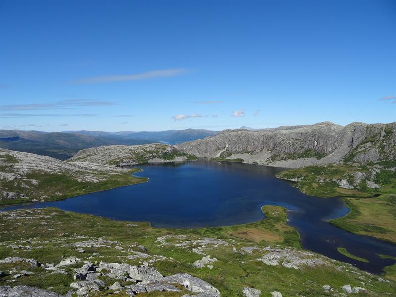
Hiking: Kverntjønna
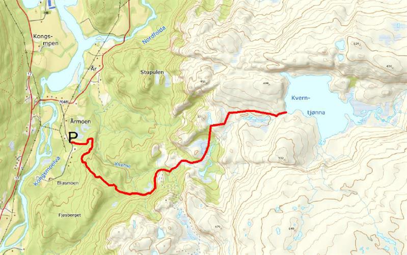
Walk approx. 2 km along the private Taubanevegen (Fjellvegen) road. Follow signposted «Hållingtopp» trail at the end of the road, 700m from parking area. Follow this marked trail for 2 km until you reach Kverntjønna pond, locally known as Årkveinntjønna. Initial trail follows gravel road, halfway through the trail you leave the gravel road and walk in the terrain. Challenging walk when you enter the terrain part of the trail. This hike is approx. 9 km long and takes 3-3,5 hours to walk. Great view along the trail, and the area around the pond is very scenic.
DIRECTIONS:
Drive the Coastal Route Fv17 to Kongsmoen, then drive towards Aune. After approx. 400m, turn right along the Årmoen municipal road by Kongsmoen school. Drive 550 m and park by the exit to Taubanevegen.
Download and print trail description: Kverntjønna.
- Duration
- 4 hours
- Grading
- Medium
- Symbols
- Hiking
