


Hiking: Heimdalhaugen / Aajmehtaelie 1159 masl.
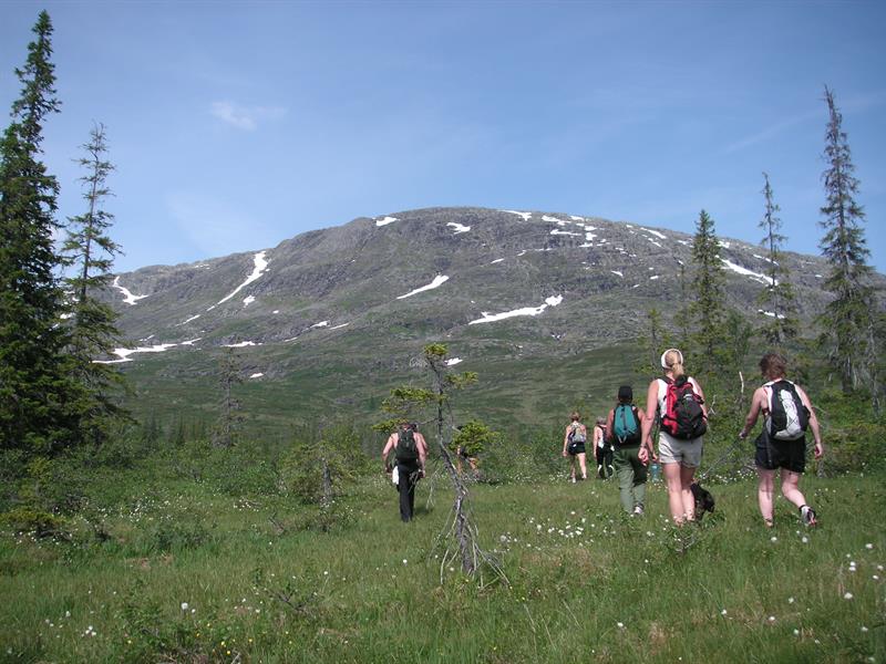
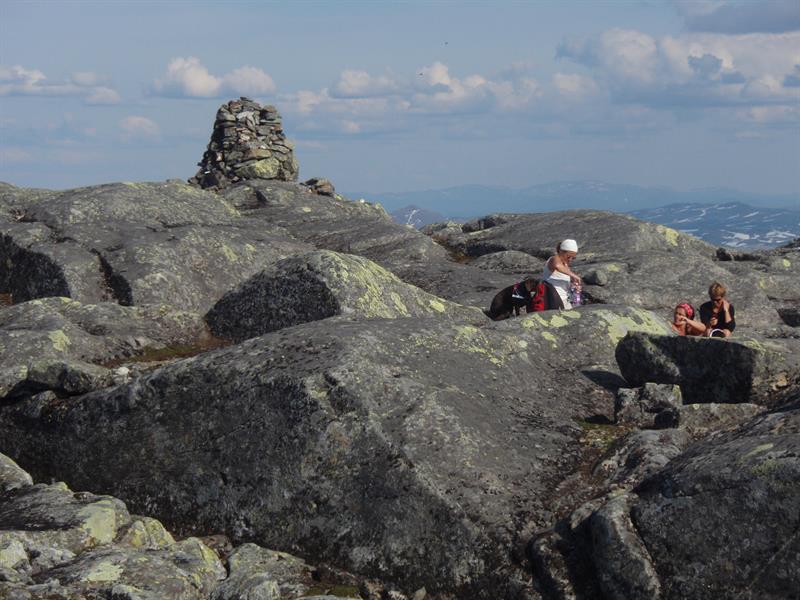
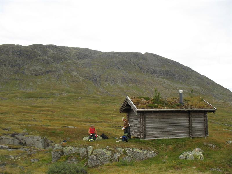
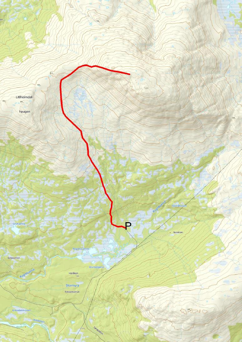
Description: Heimdalhaugen/Aajmehtaelie is 1159 masl and the highest mountain in Grong. On days with clear sky the view is amazing, with views towards Heilhornet in Helgeland in the west and Kvigtinden in the north. From the parking you will initially walk through woodland for about half an hour. Walk between Storhaugen and Litjhaugen, then follow the ridge towards the right. Gjeterhytta cabin can be seen on the hill towards Litjhaugen. This is a small cabin, open all year around. Sleeps four people. At the summit there is a cairn. Summit can be reached all year around. Hike is not signposted. 13 km return hike,. about 930 meters of elevation.
Directions: The Heimdalhaugen summit can be reached from almost all directions. Most start from Solem in the Nesådalen valley. From E6, in the junction 4 km north of Harran, drive towards Nesådalen. This is a toll road. Toll fee is payable by mobile phone.
Sleep, eat, see and do:
Langnes Camping (langnescamping.no), Namsentunet (namsentunet.no), Rønningen på Veium, Jørem – opplevelser ved Namsen (jorem.no), several eateries in Grong and Harran.
Download and print trail description: Heimdalhaugen.
- Duration
- 1 day
- Grading
- Challenging
- Season
- All-year
- Symbols
- Hiking


